Whitehall Parkway

Day one
On Friday afternoon I headed to the Whitehall Parkway for the first time. I parked at the entrance off of Church St.

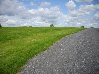
I began my walk on the gravel trail, assuming that the path would be a loop and end back at the parking lot. There was a lady here with a dog. I mention that because she would be the only person I saw during my visit which seemed rather strange for a wonderfully comfortable Friday afternoon.

Through the trees, I followed a trail. I walked gingerly because of the amount of undergrowth and I am lucky that I did. Had I been walking more quickly, I would have plummeted to my death down the wall of a quarry. I don’t think that trail is supposed to be there and further up is an actual quarry wall safety fence that was installed as part of an Eagle Scout project.


I could see what looked like a path at the bottom of the quarry and made it my mission to head down there.

The trails in Whitehall Parkway pass through very different types of vegetation and forest growth. There are areas of path that are gravel through developing forest and there are large grassy path ways that cut through thick marsh and wetland. The Ironton Rail Trail passes through the park on the north side. I intend to dedicate a post to that trail in the near future.


As I walked around I could see various ruins scattered amongst the trees. It turns out that some of these ruins were once part of the quarry that the park now lays in. Other ruins were part of the original cement plants in this area from the 1800’s. The Ironton Rail Trail is known for the amount of these old edifices along its sides.


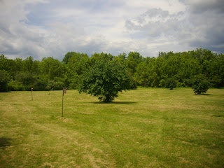
I began to notice that I was walking in circles. I kept passing the same ruin or group of wildflowers over and over again. As exciting as it is to experience a new park or nature preserve there is always the possibility of getting lost because of the unfamiliarity. I got lost. I ended up at the “Bluebird Meadow” after an increasing frustrating march along the trails which I am convinced were designed by throwing spaghetti on a map and saying “Bingo.”

I decided at this point that elevation would be the key to finding the quarry, since you would obviously not walk up to go down. I ended up at the quarry wall. As it turned out, it was a different quarry and I really had no idea where I was. Walking on a very thick grassy path, with an eye out for raptors, I stumbled into a parking lot and eventually back onto Church St.

I failed. I was hot and frustrated and walking down Church St avoiding cars instead of exploring the bottom of a quarry. I had walked around Whitehall Parkway for nearly three hours. No luck.
Day Two
After looking at park maps online, I decided to head back to Whitehall Parkway on Saturday morning to try and get into that quarry. This time I parked along Chestnut St, next to the big red barn.

There are handicap access paths here and a handicap fishing pier.

The path here is completely unpaved and is laid through a wetland. There were dragonflies in abundance as well as bees, wasps, chipmunks, and numerous wildflowers and tall grasses.


I knew that I would once again reach the Ironton Rail Trail but this time, if I just took the path straight across I would walk directly into the quarry. I ended up at the “Bluebird Meadow” again. Pissed off, I decided to abandon my quest for the quarry and head home. As I walked back towards the IRT, my curiosity got the better of me at the sight of more ruins and I decided to check them out. After exploring the disintegrating buildings (separate post coming) I saw a path ahead that cut to the left. This was it. This had to be the path. On I went.

I had made the right decision. I finally made it to the quarry.


Whitehall Parkway is unique. There are countless things here that are worth a visit on their own. I need to explore the IRT soon and I suggest that any of you who decide to visit this park check a dang map first. It is incredibly easy to become lost…
Directions from 15th and Chew in Allentown:
View 15th and Chew to the Whitehall Parkway in a larger map
Labels: Whitehall Parkway


3 Comments:
I'm almost positive that those yellowy/orangish flowers are pocketbook flowers. I just learned about them from my uncle, who told me how my great-grandmother used to get them every year for Easter, but how rare is it to find them. He's found one flower shop (Newhardt's in Schnecksville) where you can actually buy them, but that's only in the spring. It's cool that YOU found them in the wild.
That is fantastic. I just saw your scenic trails post, very nice. There are alot of trails around here worth a visit. Thanks for reading.
The Whitehall Parkway is one of my favorite afternoon hiking spots. It is close to home, there are many different types of environs and it is so small (110 acres) you really can't get too lost.
Many of the trails were made by mountain bikers. If you stay on the main trails you will eventually get you where you want to be (although, I suggest checking out the small trails because that is where you will find views of quarries, cliffs, caves, a creek and a waterfall.)
There is a lot packed into such a small area -- I go there at least once a month (for years) and am not bored yet!
Post a Comment
Subscribe to Post Comments [Atom]
<< Home